Water Survey

Introduction – First Step To Your Drilling Project.

We use the latest technology, equipment, and methods to determine the best places to drill for water. Our accuracy rates are at or near 100%.

Our process is a logical, step-by-step system used by skilled hydro-geologists to identify the best location for a borehole site.
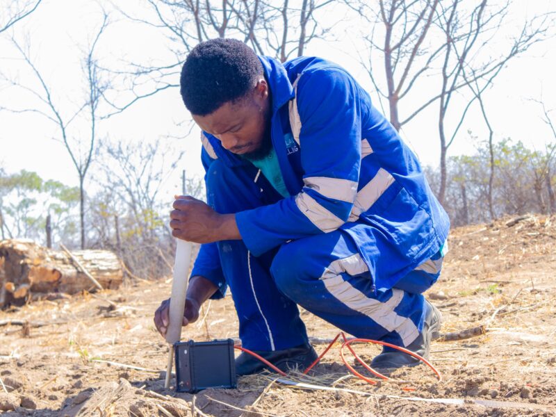
Surveying the Site

In most situations, we have a good understanding of the site. We will know where the easiest and or best places to drill are situated. This can be balanced against the ease of access, in some rare cases the costs of getting the drill rig to the easiest place to drill, means that it makes sense to drill in a harder location to make the total cost come down. To give the customer the best solution at the best cost we need to consider the following factors:

  • Which areas are difficult for the drilling rig and equipment to access.
  • Which areas are difficult to drill in.
  • Where plumbing, communication, and or power cables run under or over ground.
  • Where is the best place to operate and maintain pumping equipement and the distance needed to run pipes.
  • If there are structural supports such as foundations that could affect buildings or structures.

Borehole Siting Procedure

The scope of a site suitability assessment leading to the best outcome might include, without being limited to, any one or more of the following activities:

  • A study of existing and available geological, geophysical or groundwater literature, data and information relevant to the project area. This activity can provide information regarding the general occurrence and quality of groundwater.
  • A study of relevant existing and available maps, aerial photographs and other remotely sensed information for the project area. This activity can assist in identifying appropriate drilling targets.
  • A survey employing one or more models of suitable and appropriate geological exploration. This activity finds specific application in an environment where geological exposures are plentiful. Under these circumstances, field observations of rock types and the recognition of geological structures can facilitate the siting of a borehole.
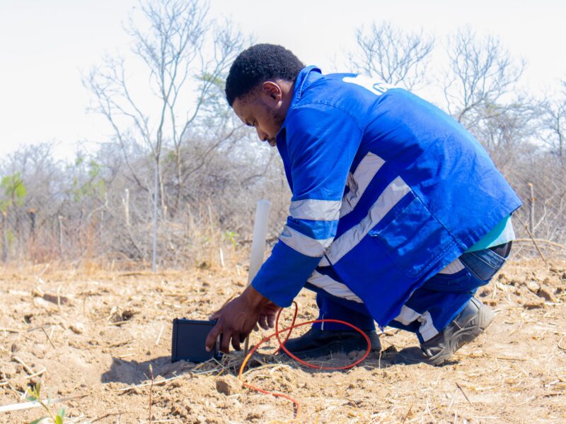
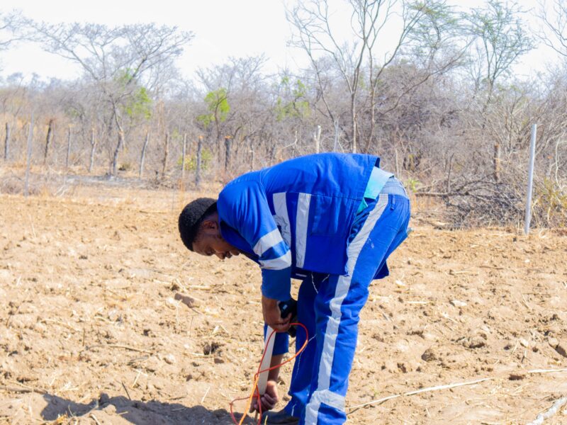
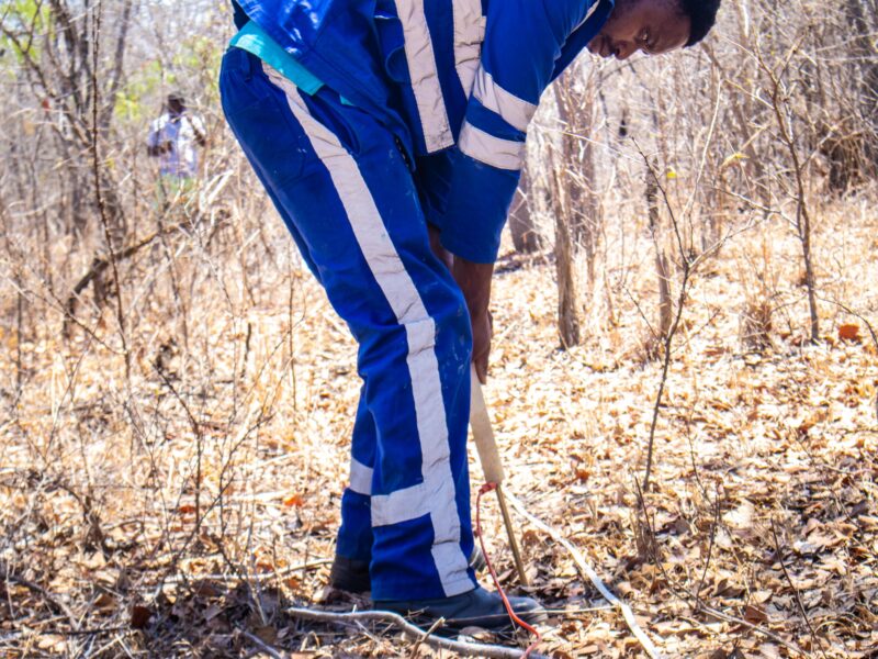
  • A survey employing Electrical Resistivity Imaging. Electrical imaging has emerged as a prime method for infrastructure projects and environmental studies in recent years, the demand for better information is expected to continue. In such applications the following is essential, High resolution at willow depths, automated data acquisition for cost effectiveness, Superior area coverage through at least two- and three-dimensional information, output presented in easily interpretable form HANFA Prospecting and Drilling in cooperation with Abem provides fast, accurate and automated resistivity imaging in 2D and 3D equipment. The entire data handling process is

Partner With Skylake Borehole Drilling